Home › Campaign routes › The northern campaign: Lampang and Pak Phing
The northern campaign: Lampang and Pak Phing
Burma's 3rd army had 30,000 men, the second largest after the royal army. It set out from Chiang Saen, meaning to take Lampang and then follow the rivers south to join the royal army at Bangkok. But it was held up before the walls of Lampang for three months. The column that did break away southwards numbered only about 3,000, and it was broken at Pak Phing, below the town of Phitsanulok.
- Enemy army
- Siamese army
- 1Stops, numbered as in the list below
- 2Clash with the Burmese
- 2Main battlefield
- 1–3Several stops close together: tap to zoom in
- ≈ approximate position
Press + to zoom in, then drag to move the map; on a phone you can pinch. Tap a number to read about that stop.
The mark ≈ means an approximate position. Borders on the map are present-day borders, shown only to help you find places. The routes are approximate lines drawn from the chronicles and later studies, not the actual path step by step. Dashed lines are enemy armies; solid lines are Siamese armies.
Towns without people
Ten years earlier, Maha Thiha Thura's invasion (known in Thai as the Azaewunky war) had left Phitsanulok, Sukhothai and Sawankhalok burned, with many of their people dead or carried off. When the Burmese came again in late 1785, the governors of the three towns could not gather enough men to hold them, and chose to lead their people into the forest.
Bangkok sent no army up to hold these towns. Instead Prince Anurak Thewet was posted with 15,000 men at Nakhon Sawan, where the Ping and Nan rivers meet, to block both the 3rd army coming down the Nan and Yom and the 9th army coming by way of Tak.
Lampang pins the main army, Pak Phing cuts off the vanguard
Chao Kawila held Lampang for the whole three months, which kept most of the 3rd army stuck there. Only Nemyo Sithu's column broke away and came down to camp at Pak Phing. The Siamese army at Phichit and the Burmese at Pak Phing watched each other for a long time, neither side attacking.
When the fighting on the Kanchanaburi front was over, King Rama I brought the royal army north in person to support them, and gave a firm order that the camp at Pak Phing be taken in a single day. On Saturday 18 March 1786 the Burmese camp fell. The Siamese then marched on to Lampang, and the Burmese besieging the town fell back to Chiang Saen. After the war Prince Anurak Thewet was raised to the Rear Palace (Krom Phra Ratchawang Bowon Sathan Phimuk).
The route in 5 stops
Dates on this page are in the Common Era. Thai sources date the war in the Buddhist Era, and old documents began the new year around April, so they count the events of January to March 1786 (BE 2329) as still falling in BE 2328. That is why many Thai books place the whole Nine Armies' War in BE 2328 (1785).
- 1
Chiang Saen (base of the 3rd army)
The 3rd army of Thado Thiri Maha Uzana, lord of Toungoo, 30,000 men, was based at Chiang Saen, a town still in Burmese hands. It was the second largest army after the royal army, with orders to take Lampang and then follow the Yom and Nan rivers south to join the royal army at Bangkok.
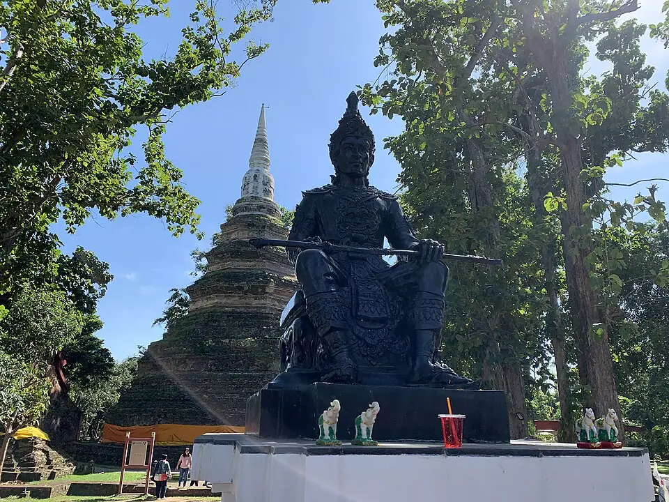
Wat Chedi Luang in the ancient town of Chiang Saen · Photo: Chainwit. · CC BY 4.0 via Wikimedia Commons Chiang Saen, on the Mekong River, was Burma's stronghold in Lanna until 1804. Today it is an ancient town that still has its walls, moat and many old temples, such as Wat Chedi Luang. It has Chiang Saen National Museum and is close to the Golden Triangle.
Places to visit nearby
- Wat Chedi Luang, Chiang Saen ↗Google Maps
- Chiang Saen National Museum ↗Google Maps
- The Golden Triangle ↗Google Maps
- Chiang Rai storiessongkran.com
Where to eat nearby
- Restaurants around this stop ↗Google Maps
- 2
Lampang town (Nakhon Lampang)
Lampang was Siam's northernmost frontier town, because Chiang Mai was still deserted. The 3rd army therefore had to take Lampang before it could go south.
Clash with the Burmese army- Against
- Almost the whole of Burma's 3rd army
- Where
- The town of Lampang, on the north bank of the Wang River
- How
- Chao Kawila shut the gates and held the walls, refusing battle in the open. The Burmese besieged the town for about three months but could not get in.
- Outcome
- In March 1786 the army of Prince Chakchetsada and Chaophraya Maha Sena arrived and attacked the besiegers. The Burmese fell back to Chiang Saen.
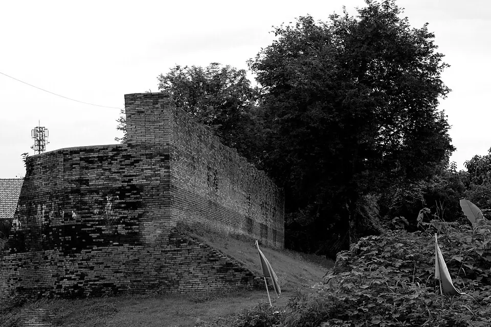
The old city wall of Lampang, near the Ma Gate (Pratu Ma) · Photo: Chit130512(chitpron) · CC BY-SA 3.0 via Wikimedia Commons Old Lampang lies on the north bank of the Wang River. A stretch of the brick town wall and the gate called Pratu Ma can still be seen, with Wat Phra Kaeo Don Tao Suchadaram close by. Across the river is Kat Kong Ta, a street of old buildings that becomes a walking street on Saturday and Sunday evenings.
Places to visit nearby
- Pratu Ma and the old town wall of Lampang ↗Google Maps
- Wat Phra Kaeo Don Tao Suchadaram ↗Google Maps
- Wat Phra That Lampang Luang ↗Google MapsAbout 18 km from the town
- Things to do in Lampangsongkran.com
Where to eat nearby
- Kat Kong Ta walking street (Saturday–Sunday) ↗Google Maps
- Where to eat in Lampangsongkran.com
- Restaurants around this stop ↗Google Maps
- 3
Sawankhalok and Sukhothai
Nemyo Sithu took about 3,000 men from Lampang down the Yom River. The towns of this region had had very few people left since Maha Thiha Thura's invasion ten years before. The governors of Sawankhalok and Sukhothai could not gather enough men, so they abandoned their towns and fled into the forest.
Sawankhalok and Sukhothai were northern towns in the Yom River basin, very thinly peopled after Maha Thiha Thura's invasion in the Thonburi period. Today Sawankhalok has the Sawankhaworanayok National Museum and lies between Si Satchanalai Historical Park and Sukhothai Historical Park.
Places to visit nearby
- Sawankhaworanayok National Museum ↗Google Maps
- Si Satchanalai Historical Park ↗Google Maps
- Sukhothai Historical Park ↗Google Maps
- Things to do in Sukhothaisongkran.com
Where to eat nearby
- Where to eat in Sukhothaisongkran.com
- Restaurants around this stop ↗Google Maps
- 4
Phitsanulok town
The governor of Phitsanulok abandoned his town too. The Burmese marched past it and built a camp at Pak Phing, on the east bank of the Nan River, watching the Siamese armies at Phichit and Nakhon Sawan.
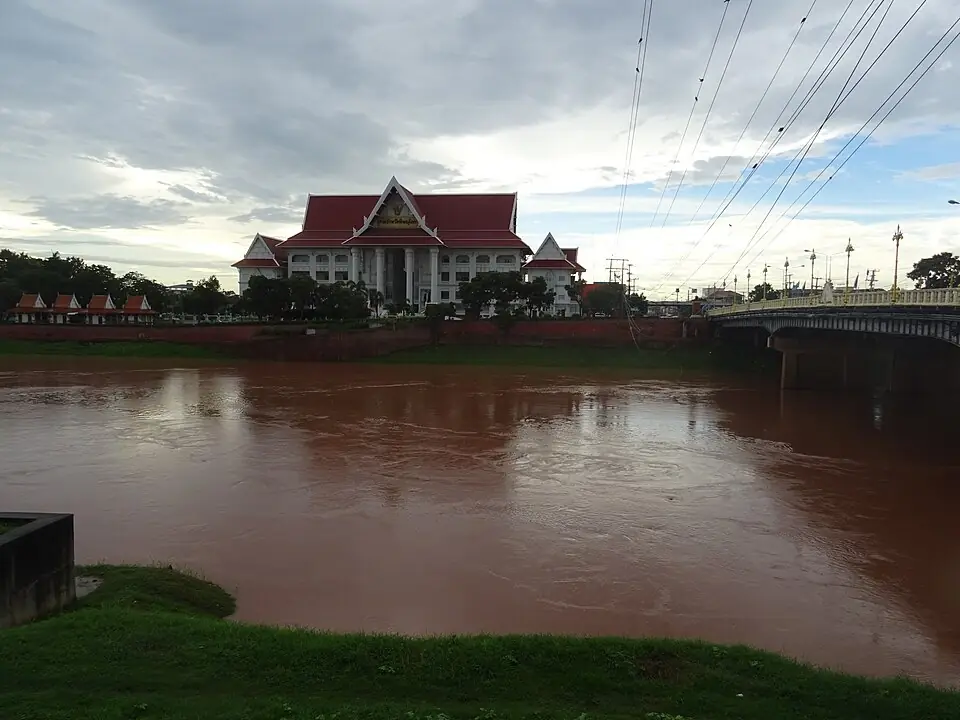
The Nan River at Phitsanulok; Pak Phing lies further downstream · Photo: Christophe95 · CC BY-SA 4.0 via Wikimedia Commons Phitsanulok, on the Nan River, was once the largest of the northern towns, but it was burned in Maha Thiha Thura's invasion in 1776 and ten years later had still not recovered. The main sights are Wat Phra Si Rattana Mahathat, home of the Phra Phuttha Chinnarat image, and Chan Palace.
Places to visit nearby
- Wat Phra Si Rattana Mahathat (Phra Phuttha Chinnarat) ↗Google Maps
- Chan Palace ↗Google Maps
- Things to do in Phitsanuloksongkran.com
Where to eat nearby
- The night bazaar on the Nan River ↗Google Maps
- Where to eat in Phitsanuloksongkran.com
- Restaurants around this stop ↗Google Maps
- 5
Pak Phing
Prince Anurak Thewet had been posted at Nakhon Sawan with 15,000 men since the start of the war. When the fighting on the Kanchanaburi front was over, King Rama I brought the royal army up as far as Phichit in support and ordered the attack on the camp at Pak Phing.
Main battlefield of this campaign- Against
- The force of Nemyo Sithu, about 3,000 men
- Where
- The camp at Pak Phing, on the east bank of the Nan River below Phitsanulok
- How
- Prince Anurak Thewet and Chaophraya Maha Sena marched up from Phichit and attacked the camp, under orders to take it in a single day. The fighting lasted from morning until dusk.
- Outcome
- The Burmese camp fell. The Burmese soldiers fled across the Nan River, and about 800 died in the water. On hearing the news, the 9th army at Tak withdrew.
Today Pak Phing is a farming community on both banks of the Nan River. The east bank is in Wang Nam Khu subdistrict and the west bank in Ngio Ngam subdistrict, Mueang Phitsanulok district, with Wat Pak Phing Tawan Ok and Wat Pak Phing Tawan Tok as landmarks. Pak Phing had been a battlefield once before, in Maha Thiha Thura's invasion of 1775–1776.
Position on the map: Approximate coordinates of the mouth of Khlong Phing on the Nan River, about 12 km south of Phitsanulok town. Present-day writers place the Burmese camp on the east bank, in Wang Nam Khu subdistrict.
Places to visit nearby
- Wat Pak Phing Tawan Ok ↗Google Maps
- Wat Phra Si Rattana Mahathat (Phra Phuttha Chinnarat) ↗Google MapsIn town, about 12 km away
- Things to do in Phitsanuloksongkran.com
Where to eat nearby
- Where to eat in Phitsanuloksongkran.com
- Restaurants around this stop ↗Google Maps
Travel guides for the provinces on this route
Things to do and where to eat in each province, from songkran.com, our sister travel site
- Chiang RaiStop 1Chiang Rai stories →
- LampangStop 2Things to do in Lampang →Where to eat in Lampang →
- SukhothaiStop 3Things to do in Sukhothai →Where to eat in Sukhothai →
- PhitsanulokStop 4, 5Things to do in Phitsanulok →Where to eat in Phitsanulok →
Where historians still disagree
- How long Lampang was besieged: Thai sources say about three months, some studies four, depending on whether one counts from the day the Burmese left Chiang Saen or the day they reached the town.
- The number of Burmese at Pak Phing: most accounts say 3,000, some versions 5,000.
- The site of the Pak Phing camp: the chronicle places it on the east bank of the Nan River. Present-day writers identify it with Wang Nam Khu subdistrict. No archaeological survey has yet confirmed the position of the camp.
Frequently asked questions
Where is Pak Phing?
On the Nan River, about 12 kilometres south of Phitsanulok town, in Wang Nam Khu and Ngio Ngam subdistricts of Mueang Phitsanulok district.
Who defended Lampang?
Chao Kawila, the ruler of Lampang, the eldest of the Chao Chet Ton, the “seven princes”, who later became king of Chiang Mai.
When was the Battle of Pak Phing?
On Saturday, the 4th day of the waning moon of the 4th lunar month, which works out as 18 March 1786.
Last updated 14 November 2026